Opis
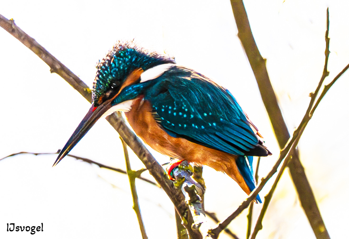
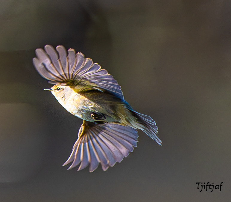
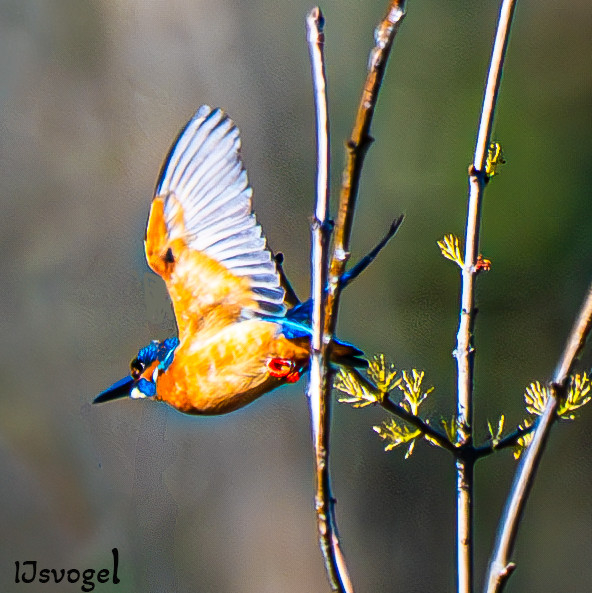
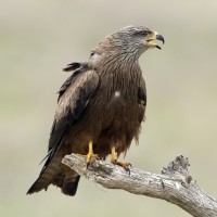
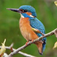
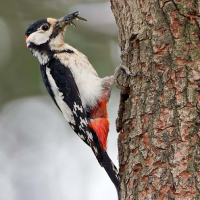
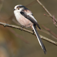
Combined cycle path/footpath along the Rio Tormes near Salamanca. From the Don Quijote campsite in the village of Cabrerizos, the footpath runs both east and west, right along the river, making it easy to observe many bird species. Ideal for combining this fantastic bird area along the river with a visit to the city of Salamanca by bike. Birds that you can encounter along the river include: dzięcioł duży, kapturka, kormoran, pierwiosnek, zimorodek, szczygieł, raniuszek zwyczajny, szpak jednobarwny and kania czarna.
_________________________
Español: Sendero mixto para bicis y peatones a lo largo del río Tormes, cerca de Salamanca. Desde el camping Don Quijote, en Cabrerizos, el camino discurre de este a oeste, bordeando el río, lo que facilita la observación de numerosas especies de aves. Ideal para combinar la observación ornitológica junto al río con unas visitas fantásticas de la ciudad de Salamanca montando en bicicleta. Entre las aves que se pueden observar a lo largo del río se incluyen : dzięcioł duży, kapturka, kormoran, pierwiosnek, zimorodek, szczygieł, raniuszek zwyczajny, szpak jednobarwny y kania czarna.
Szczegóły
Dostęp
The cycle and pedestrian path runs along the Rio Tormes river just east of the city of Salamaca, near the village of Cabrerizos. It's easily accessible by car via the SA-804 from Salamanca. Take the "Diseminado Arenal del Ángel" exit towards Camping Don Quijote, where there is ample parking. Press P on the map for directions to the car park. Walk or cycle to the river along the edge of the campsite. The best time to go is early in the morning.
_________________________
Español: El camino para bicicletas y peatones bordea el río Tormes, justo al este de Salamanca, cerca de Cabrerizos. Se accede fácilmente en coche por la SA-804 desde Salamanca. Tome la salida "Diseminado Arenal del Ángel" hacia el Camping Don Quijote, donde encontrará un amplio aparcamiento. Pulse P en el mapa para obtener indicaciones para llegar al aparcamiento. Puede caminar o ir en bicicleta hasta el río, bordeando el camping. El mejor momento para ir es temprano por la mañana.
 ) aby wstawić nazwy ptaków w swoim języku ojczystym. Nazwy ptaków zostaną automatycznie przetłumaczone dla innych użytkowników!